Value of an Undergraduate Certificate
Are you interested in enhancing your studies with an undergraduate certificate? In addition to major areas of study, UT San Antonio offers a variety of programs that provide valuable contributions to students' academic careers. While pursuing a certificate, students have the opportunity to explore personal interests and passions outside of their major program or complement their current major, helping them further stand out in the job market.
Why Pursue a Certificate in Geographic Information System?
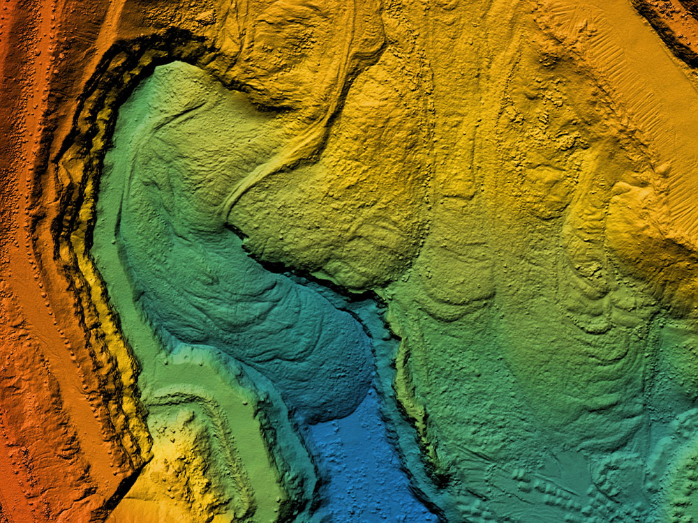
GIS operators are in high demand in the modern workforce. This certificate program gives students the knowledge and training to be experts in using the Geographic Information System (GIS) tool. Students will be able to create, operate, and manage geospatial data, make professional maps, and analyze data for various science and technique applications. This certificate is open to any undergraduate level major that is interested integrating these skills into their career.

Apply Certificate Courses to Your Degree
One of the added benefits of the Certificate in Geographic Information System is the ability to apply courses from this program to a Bachelor’s degree. Depending on program requirements, and with approval of the undergraduate advisor of record, you may be able to apply all coursework taken for this certificate directly to your major area of study.
Adding a Certificate
Add On to Your Major
Currently enrolled in a bachelor's degree program and looking to enhance your degree with an undergraduate certificate? Contact the Certificate Program Advisor listed below, and request permission to enter into the program. Approval to enter into a certificate program must be granted by the Certificate Program Advisor and the Dean of the college in which the certificate program is housed.
Required courses: 6 hours
- Web GIS
- Programming and Statistics for GIS
Students must choose one of the following:
- Geographic Information Systems (GIS)
- Fundamentals of Geographic Information Systems (GIS)
- Fundamentals of Geographic Information Systems (GIS)
- Introduction to Geographic Information Systems
Students must choose one of the following:
- Introduction to Geospatial Technologies
- Spatial Analysis
Students must choose one of the following:
- Principles of Remote Sensing
- GIS Cartography


